


Do I Need a Survey for an ADU?
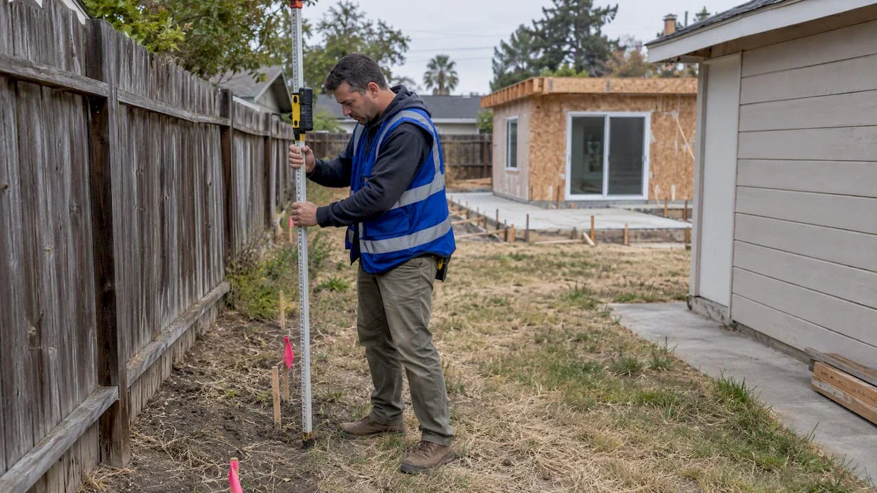
A survey is often needed when your project involves ADU is planned near property boundaries, a sloped or irregular lot, or local requirements for verifying setbacks and zoning compliance. For a Los Angeles-area project, ask the relevant planning or building department whether boundary documentation or construction-stage verification is required for accessory dwelling units, particularly near setback lines. Requirements depend on the jurisdiction, site conditions, and approved plans. Even if a survey is not explicitly listed on the building permit checklist, obtaining one early can help prevent boundary disputes, unexpected design changes, and costly delays during feasibility studies or site inspections.
Key reasons you may need a survey for your ADU:
- Your lot has slopes, hills, or irregular terrain. Steep or uneven lots may require grading-related surveys and separate soils investigations to evaluate safe foundation options involving design and a buildable pad for the ADU, especially where drainage, slope stability, and site preparation affect construction. (Maxable)
- You’re trying to maximize square footage near setbacks. Placing an ADU close to allowable setbacks can maximize interior space or improve floor plans, but precise property-line and building-location verification may be necessary to prevent encroachments, zoning conflicts, and revisions to construction documents.
- Your project involves ADU is planned near a property line or setback. Ask the local building department whether the proposed clearance requires a boundary survey, construction staking, or building verification survey. Confirm the required documentation and inspection stage with the authority responsible for your property rather than relying on another city’s practices. (San Marcos,Carlsbad)
- You want to identify technical obstacles and budget accurately. A comprehensive survey, supported by topographic or planimetric mapping, can document retaining walls, drainage patterns, visible utilities, and recorded easements. Underground utility locations may require separate investigation. Together, these details support construction estimates, utility planning, and building plans, reducing surprises during site preparation or foundation installation.
- An inspector may require verification during construction. If setback compliance is unclear, an inspector may pause affected work and request documentation confirming that require one if they’re not confident the ADU meets property-line and setback requirements. This can lead to delays, revised construction documents, and unplanned expenses.
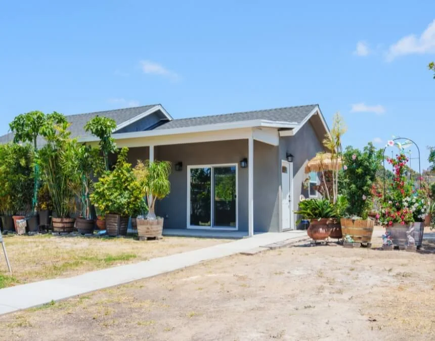
If your ADU is near a fence, slope, or easement, an early survey may cost less than redesigning after plan review.
Understanding Accessory Dwelling Units (ADUs)
What Is an ADU?
An accessory dwelling unit (ADU) provides complete, independent living facilities on a lot with a primary residence. ADUs, also called casitas, granny flats, or in-law suites, include facilities for living, sleeping, cooking, and sanitation. State ADU legislation, including California’s evolving ADU law, has reduced zoning barriers and streamlined approval requirements. Consult the March 2026 California ADU Handbook and current state law for eligibility, applicable setback provisions, and permitting guidance, then confirm energy-code and building-code requirements with the relevant local authority.
Key Context & Stats
ADUs are an important part of California’s housing supply, but statewide growth does not establish local permit demand, approval timelines, or project feasibility. Check current HCD housing reports and the relevant city’s official permit records before relying on statistics for planning or investment decisions. (Pioneer Institute)
Why Jurisdiction Matters
Survey requirements vary by jurisdiction and project, particularly where site constraints affect setbacks, parking provisions, grading, or utility planning. Ask the relevant building or planning department whether coastal-resource rules, drainage conditions, or other applicable zoning overlays require additional site documentation.
- Los Angeles: Ask the Department of Building and Safety whether your ADU’s location, available boundary records, or proposed setbacks require a survey or construction-stage verification. (Uni Construction - San Marcos)
- Diamond Bar and Pomona: Confirm requirements separately with the applicable city’s planning and building staff, including whether ADU near setback limits requires survey documentation. (Uni Construction - Carlsbad)
Benefits of a Survey
- Helps prevent boundary and encroachment disputes with neighbors.
- Documents recorded easements, visible utilities, and restricted areas during early site planning, with separate utility locating when needed.
- Supports checks against applicable zoning rules, height limits, and setbacks reviewed by local staff.
- Supports property value through documented due diligence and accurate site information for future construction planning or resale evaluations.
Challenges Without a Survey
- Construction delays: Inspectors may pause affected work if setbacks cannot be verified, disrupting construction schedules and potentially requiring design revisions or updated Title 24 documentation.
- Soil or slope issues: Sloped or irregular lots may need grading evaluations or geotechnical investigations before foundation design and construction can proceed.
- Unexpected site conditions: Incomplete site information can leave drainage conflicts, sewer lateral locations, or utility constraints unresolved until construction, causing delays, added costs, or structural revisions.

Small ADUs still need applicable setback and site checks. Accurate survey data helps keep the layout compliant and ready for construction.
The Role of Surveys in ADU Projects
Why Surveys Matter in ADU Construction
Surveys play an important role in ADU construction by establishing property boundaries, documenting site challenges, and supporting compliance with requirements involving ADU meets local zoning and setback requirements under local regulations and state ADU law. They are especially useful on sloped or irregular lots and near property lines, where drainage, utility placement, and structural needs should be evaluated early. Confirm whether the local authority requires boundary or construction-stage verification for your project. Recorded easements and deed restrictions also need careful review, since a survey alone does not determine their legal enforceability.
Key Points With Sources
- Surveys identify site challenges early. Topographic and planimetric surveys document slopes, visible utilities, drainage features, and other site limitations during planning. This information supports budgeting, feasibility assessments, site evaluations, and early 3D renderings based on accurate existing conditions.
- Surveys support ADUs near property boundaries. Boundary or verification surveys can establish whether proposed construction meets applicable setbacks and avoids neighboring property, reducing the risk of later corrections that affect compliance, costs, or resale considerations.
- Local requirements must be confirmed. Ask the relevant planning or building department whether your project requires setback certification, construction staking, or a building verification survey. Confirm the timing and documentation needed to avoid inspection conflicts or unapproved construction.

A survey-backed site plan helps identify grading, utility, and access constraints before they become change orders.
Types of Surveys for ADU Projects
Three common survey categories used in ADU construction are boundary surveys, topographic/planimetric surveys, and building verification surveys (BVS). Boundary surveys establish legal property lines; topographic and planimetric surveys document terrain and site features. Verification surveys check an ADU’s placement against approved plans, including requirements involving ADU is built exactly where approved building plans and applicable zoning rules. Each serves a different planning, permitting, or construction purpose, so confirm the scope and terminology accepted by the local building department.
Boundary Survey
A boundary survey establishes a lot’s legal property lines and corners using available records, monuments, and field measurements. It is particularly useful when an ADU approaches setback limits or when fences, existing improvements, or recorded restrictions create uncertainty. If the city requires a building verification survey (BVS), ask the surveyor what boundary work is needed first and when verification must occur before construction proceeds.
Topographic / Planimetric Survey
Topographic and planimetric surveys map property features such as slopes, trees, retaining walls, visible utilities, drainage features, and elevation changes. They support early feasibility and design, especially on sloped or irregular lots where grading, utility connections, and foundation design require careful evaluation. Underground utilities may need separate locating or investigation.
They help determine:
- Whether grading is needed
- Suitable ADU placement
- More accurate construction cost estimates
- Site constraints affecting structural design or load calculations
Building Verification Survey (BVS)
A building verification survey (BVS) checks whether staked construction, foundation forms, or completed work matches the approved location and applicable setback requirements. The required inspection stage and documentation vary by jurisdiction and project. Ask the local building department whether verification is necessary, particularly near property boundaries, easements, or other restricted areas. If coastal-resource review applies, confirm its requirements separately rather than assuming coastal oversight automatically triggers a survey.
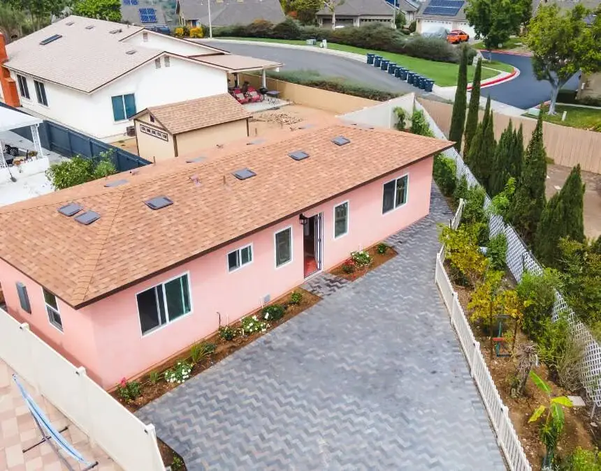
Match the survey to the project stage: boundary work for layout accuracy, topography for feasibility and budgeting, and verification at the required construction milestone.
Importance of Surveys in Compliance & Legal Protection
Preventing Boundary Disputes
Surveys help prevent boundary and encroachment disputes by establishing legal property lines before construction begins. When a project involving ADU is planned approaches a setback or fence line, a boundary survey helps the design team position the ADU within the property and applicable building envelope. Because fences do not necessarily mark legal boundaries, verified measurements are more reliable than visual assumptions. Ask local planning and building staff what documentation they need to review the proposed placement.
Legal Documentation & Risk Mitigation
A survey prepared by a licensed professional provides documented boundary evidence that can help address disagreements with neighbors. Retaining it in the project file supports future design work, resale disclosures, and review of the ADU’s placement. However, a survey does not guarantee legal compliance or resolve every ownership dispute. Its usefulness depends on its scope, accuracy, and relationship to approved plans, title records, structural details, and other required project documentation.
Regulatory Compliance
Surveys support compliance with California’s ADU zoning requirements, including state-law provisions that generally limit required side and rear setbacks to 4 feet for qualifying ADUs. Certain conversions and replacement structures may qualify for different setback treatment. Use the March 2026 HCD ADU Handbook and current state law to identify the applicable rules, then verify project-specific requirements with the local authority. Accurate boundary information supports compliant design, while broader housing-planning frameworks, including the Regional Housing Needs Allocation (RHNA) cycle, serve a separate policy role.
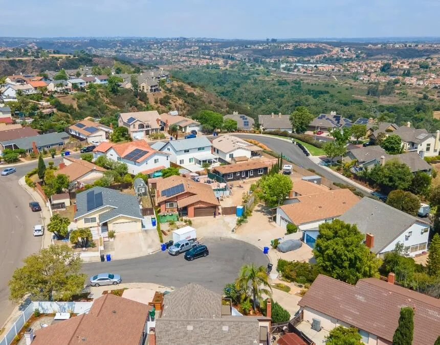
Verified boundary information can help prevent neighbor disputes and support resale documentation, but it does not replace legal advice or permit approval.
Determining the Need for a Survey
Analyzing Your Site Conditions
Understanding your property’s physical conditions is an important step in determining whether an ADU survey is needed. Sloped or uneven lots may require topographic mapping, grading evaluations, and geotechnical or structural engineering input to assess a safe building area, particularly where soil stability or drainage affects feasibility. Projects near property boundaries may need boundary verification to demonstrate compliance with applicable setbacks and support planning documents referenced in resources such as ADU Best Practices Guidebook. Soil composition, slope, and other site constraints can also affect construction costs and determine whether additional surveying, utility investigations, or geotechnical assessments are appropriate.
Inspectors May Require a Survey Mid-Project
Even when a survey is not required at permit issuance, an inspector may pause affected work if setback compliance becomes unclear during construction. The building department may then require survey documentation or another accepted form of verification before work resumes. This can cause delays, redesign, or re-staking. Confirm verification requirements early, particularly where zoning overlays, approved plan conditions, or unusual site constraints call for more detailed documentation.
Maximizing Buildable Area Drives Survey Requirements
Many homeowners seek the largest allowable ADU by placing it close to applicable setback limits. That approach makes accurate boundary information especially important and may prompt the city to require a boundary survey or building verification survey. Whether you are maximizing interior space or comparing prefab models, confirm the proposed footprint against legal boundaries and approved plans. Precise layout verification helps prevent encroachments, construction delays, and redesign costs, while rental strategy and potential monthly income require separate, property-specific analysis.
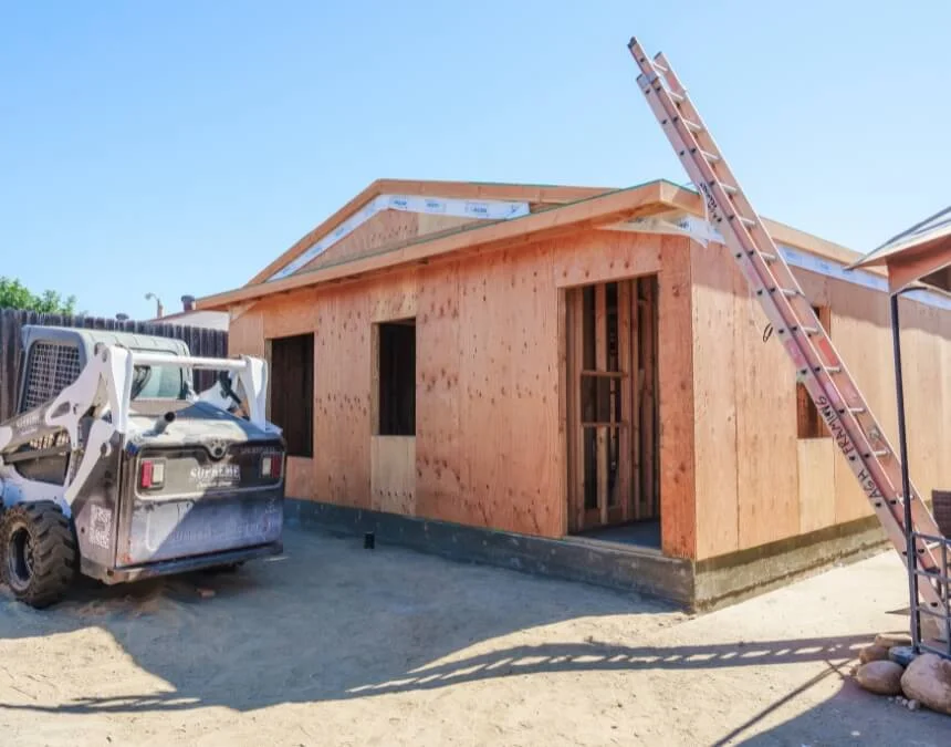
Survey early to reduce scheduling risks. Waiting until framing can lead to work stoppages if required setbacks cannot be verified.
Evaluating Existing Property Documentation
Using Old Surveys
An existing survey may be reusable for an ADU project if its scope, accuracy, and site information remain suitable. The design team and reviewing authority should confirm whether it adequately documents property boundaries, existing structures, slopes, utilities, and access points. A licensed surveyor may need to update or supplement the records. If pursuing Permit Ready Accessory Dwelling Units or the Los Angeles ADU Standard Plan Program, remember that a standardized design does not replace site-specific review or eliminate the need for current site information.
When a New Survey Is Required
Updated surveying may be necessary when existing records no longer reflect relevant property conditions. New fences, additions, retaining walls, grading, or major landscaping changes can make portions of an older survey incomplete. A previous survey may also lack the topographic or planimetric detail needed for design, especially on sloped terrain or compact lots in areas such as Del Mar and older neighborhoods. Ask the surveyor and design team which information needs updating. Accurate mapping supports setback, grading, and zoning review and helps anticipate conflicts involving utility placement, access, or solar installation rather than leaving them unresolved until construction.
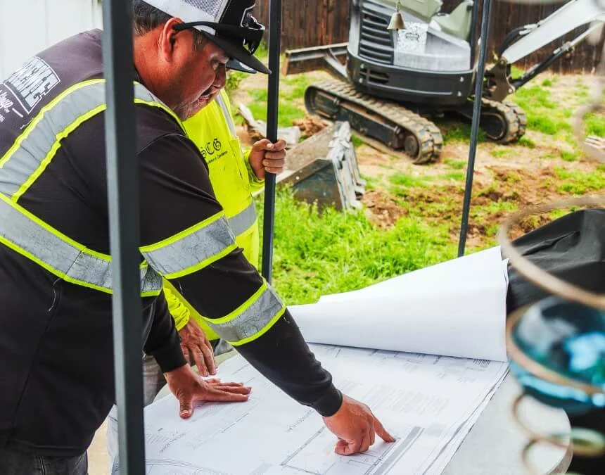
An old survey is useful only if its information remains relevant. New structures, fences, or grading may require updated mapping.
Considering Local Regulations & Guidelines
Zoning Requirements That Trigger Surveys
Applicable zoning and site conditions influence whether an ADU survey is needed. State law generally limits required side and rear setbacks to 4 feet for qualifying ADUs, with different provisions for some conversions and replacement structures. Projects near applicable limits may need boundary or placement verification. Lot coverage, height limits, recorded easements, and potential encroachments may also require detailed site information. Consult the March 2026 HCD ADU Handbook, current law, and local staff to determine which requirements apply.
City Examples
Survey requirements across unincorporated Los Angeles depend on the jurisdiction and project. Use the following city-specific checks with the relevant official planning or building authority:
-
San Marcos
For Los Angeles, ask the Department of Building and Safety whether your ADU requires a boundary survey, setback certification, or construction-stage verification. Confirm the required scope and submission stage for your site, even when using a standard plan.
-
Diamond Bar and Pomona
Contact the applicable city’s planning and building staff to confirm whether a project involving ADU is constructed near setback limits requires survey verification. Ask what documentation is accepted and when it must be submitted, especially if maximizing the buildable footprint.
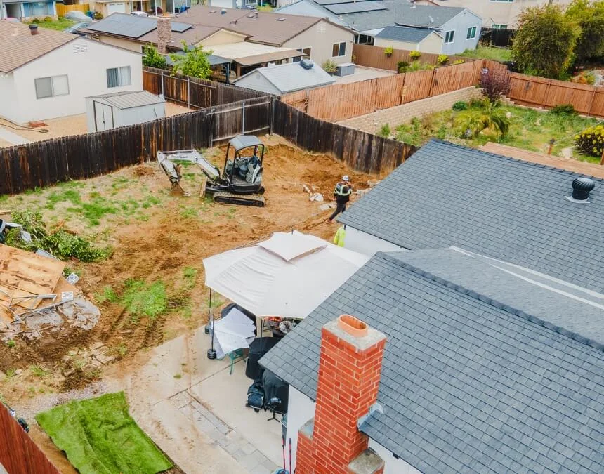
Check your city’s requirements early. Survey verification may depend on the proposed setbacks, site conditions, and approved plan requirements.
Factors Influencing Survey Decisions
Property Boundaries & Zoning Constraints
Boundary surveys are particularly useful when a project involving ADU is planned approaches lot lines or setback limits. They help establish whether the proposed footprint remains within the property and satisfies applicable zoning provisions. Confirm ADU and JADU requirements with the authority responsible for your address rather than assuming neighboring cities follow the same process. Los Angeles, Diamond Bar, and Pomona are separate jurisdictions, and each project needs its own review of survey documentation, inspection conditions, and any required placement verification.
When to Expect a Survey
Homeowners should budget for possible survey work when an ADU involves tight setbacks, challenging terrain, or other site constraints. The following conditions may prompt a city, inspector, or design professional to request additional mapping or verification:
- The ADU is close to setback limits. Construction near required side or rear setbacks makes accurate boundary and placement verification especially important for avoiding encroachments and demonstrating zoning compliance.
- The terrain is sloped or irregular. Sloped lots may need topographic mapping and separate grading or geotechnical evaluations to assess foundation placement and construction feasibility, especially in hillside neighborhoods with constrained building areas.
- The property contains easements. A survey can help plot recorded public or private easements that affect ADU placement. Review title documents and confirm restrictions with the easement holder or appropriate professional.
- Utility lines cross the proposed building area. Surveys can document visible utility features, while buried lines may require separate locating or investigation. Coordinate with the relevant utility providers to evaluate conflicts, rerouting, and access needs, including considerations associated with ADU or long-term rental.

Terrain, easements, and utility routes can drive survey needs. Site complexity matters as much as the ADU’s size.
Project Timeline & Survey Needs
Survey Duration
An ADU property survey usually involves records research, scheduling, onsite measurements, and preparation of drawings or other documentation. The time required depends on the survey scope, lot access, terrain, available boundary evidence, and the surveyor’s workload. Ask a licensed surveyor for a written schedule that distinguishes fieldwork from research, drafting, and any required recording. For a Los Angeles project, confirm the relevant permit or inspection deadlines separately rather than assuming a standard survey turnaround.
Timeline Impacts
Survey requirements can significantly affect an ADU project’s schedule. If an inspector cannot verify property lines or setbacks during construction, affected work may pause until acceptable documentation is provided, creating delays and unexpected costs. Addressing survey needs during planning reduces the risk of these disruptions and helps coordinate design, permitting, and construction. Confirm required verification milestones with the building department before scheduling foundations or other time-sensitive work.
Cost Considerations for ADU Surveys
Typical Survey Costs
For an ADU project in the Los Angeles area, request site-specific quotes from licensed surveyors. Pricing depends on lot size, terrain, available records, and whether the scope includes boundary work, topographic mapping, or construction-stage verification.
Factors That Increase Costs
Several site conditions and process requirements can increase survey costs:
- Limited existing survey records. Missing monuments, incomplete maps, or conflicting boundary evidence may require additional research and fieldwork.
- Sloped terrain or an irregular lot shape. Complex sites may need more extensive topographic or planimetric mapping, increasing the work involved.
- Surveyor availability. Busy schedules can extend lead times. Ask whether expedited service is available and whether it changes the quoted fee.
- Construction near property boundaries. An ADU close to setback limits may require detailed boundary work, construction staking, or a building verification survey. Confirm whether the quote includes the required measurements, documentation, and return visits.
Risk Mitigation & Avoiding Legal Disputes
How Surveys Prevent Issues
Surveys help reduce neighbor disputes and encroachment risks by establishing property boundaries before construction begins. Reliable boundary information allows the design team to position the ADU within the property and evaluate applicable setbacks. Construction staking or verification may also be needed to confirm actual placement. Together with approved plans and inspections, this documentation helps homeowners avoid boundary conflicts, corrective work, and potential legal challenges.
Documentation Benefits
A survey provides valuable documentation to retain with the property’s records. Depending on its scope, it can establish boundary evidence and document structure placement for future permitting, refinancing, or resale review. It does not independently prove that an ADU was lawfully built; permits, approved plans, and inspection records remain important. Keeping these documents together helps homeowners address questions from buyers, neighbors, lenders, or city officials.
Professionals Involved in ADU Survey Decisions
Role of Architects & Designers
Architects and ADU designers help assess survey needs early in planning. They rely on accurate information about boundaries, slopes, utilities, and existing structures to develop an appropriate design involving ADU that complies with zoning and setback regulations. Survey data supports precise site plans, reduces layout errors, and helps the team anticipate grading, access, and utility challenges before construction begins.
Role of Structural Engineers
Structural engineers assess foundation and structural requirements, coordinating with geotechnical professionals on soil conditions and slope stability when needed. For ADUs on uneven or sloped lots, the design team may recommend additional surveying or geotechnical investigation to evaluate grading and drainage. This information helps ensure that ADU foundation is designed appropriately for the site.
Surveyors & Legal Experts
Licensed land surveyors establish property boundaries, measure building locations, and document potential encroachments or recorded easement conflicts affecting ADU placement. Their work can support the zoning and setback verification requested by local officials, although the reviewing authority determines permit compliance. Legal professionals may also use survey evidence when addressing neighbor disputes, easement questions, or property transactions. Confirm that the survey’s scope matches the intended purpose.
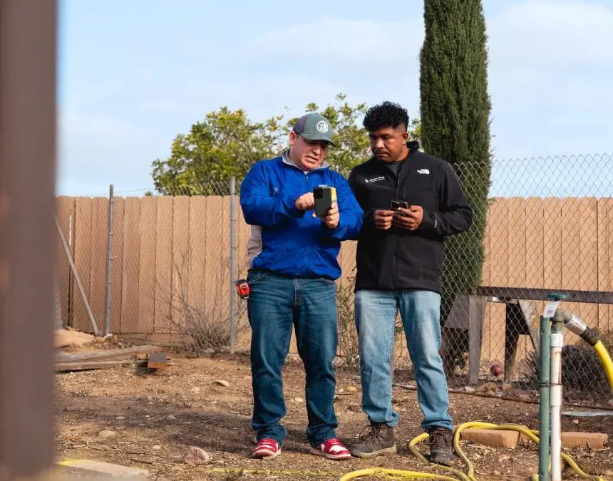
Involve a licensed surveyor early so your designer and engineer can work from verified boundaries and elevations rather than assumptions.
The Survey Process in ADU Development
Initial Planning
Survey planning for an ADU project involving ADU begins during the early planning should begin during the initial design and feasibility stage. Topographic or planimetric mapping can document slopes, visible utilities, trees, grading changes, and nearby structures so designers and engineers can evaluate placement. Boundary work may also be needed. Check requirements with the authority responsible for your address, whether Los Angeles, Diamond Bar, or Pomona, and confirm whether additional staking or construction-stage verification must be scheduled.
Conducting the Survey
A licensed surveyor combines records research, fieldwork, and office analysis to prepare the required documentation. Fieldwork may include locating property corners, measuring improvements, and mapping relevant site features. The surveyor then evaluates the measurements and records and prepares drawings suited to the agreed scope. Ask for a project-specific turnaround rather than assuming a fixed number of days or weeks. The completed information helps the design team assess boundaries, terrain, visible utilities, and the proposed ADU location.
Applying Survey Findings
Survey results support accuracy throughout design and construction. Designers use the information in site plans to evaluate setbacks, easements, and restricted areas. If the local authority requires a building verification survey (BVS), coordinate its timing with the surveyor and contractor. Where ADU is near a property relates to a property line or placement constraint, verification can document whether construction matches the approved location before the next stage proceeds.
Conclusion
Determining whether you need survey work involving need a survey for your ADU in Los Angeles starts with your lot conditions, applicable local requirements, and the ADU’s proximity to setbacks. Surveys help prevent boundary disputes, support zoning review, and reduce the risk of costly construction delays. Slopes, tight clearances, and outdated records can all make early verification especially valuable. Ask your design team, a licensed surveyor, and the relevant building department what documentation your project requires. A well-scoped survey is more than a technical task: it provides reliable information for a smoother, safer ADU project without replacing permits, inspections, or other professional evaluations.
Frequently Asked Questions
A detached ADU’s cost in Los Angeles depends on its size, design, finishes, utility connections, and site conditions. For a 750 sq ft ADU, request an itemized, project-specific estimate covering construction, design, permits, site preparation, and utility work. Confirm exclusions and contingencies rather than treating a broad total or per-square-foot figure as a reliable local budget.
Prefab ADUs may offer faster onsite installation, but they are not necessarily less expensive overall. Compare the unit price with the full cost of foundations, utility connections, craning, delivery, permits, and site preparation. Custom-built ADUs offer different design and access options, but their costs also depend on project conditions. Request comparable, itemized estimates for both approaches, including exclusions, contingencies, and site-specific work.
For a 1,000 sq ft ADU in Los Angeles, obtain a site-specific estimate rather than multiplying an assumed local average by floor area. Larger units may distribute some fixed costs across more space, but design, access, finishes, foundations, and utilities still determine the total.
To arrange an ADU survey in Los Angeles, hire a licensed land surveyor with relevant residential experience. Share your property records, available site plans, and proposed ADU concept so the surveyor can recommend boundary work, topographic/planimetric mapping, or both. Confirm the scope, fee, schedule, and deliverables in writing, including any construction staking or return visits. The surveyor will research records, perform fieldwork, and prepare the agreed documentation. Ask the Department of Building and Safety which materials are needed for design review, permitting, or a building verification survey during construction. Keep the completed survey with your approved plans and inspection records for future design work, resale questions, and property-line verification.
Survey costs for a residential ADU in Los Angeles depend on lot size, slope, boundary evidence, access, and the required documentation. Request written quotes that distinguish boundary surveying, topographic mapping, construction staking, and building verification. Confirm whether research, recording, utility investigation, and return visits are included so you can compare equivalent scopes without relying on unsupported local price ranges.