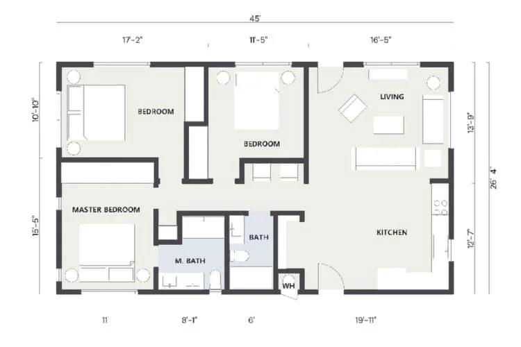


If your planned accessory dwelling unit sits close to a property line, on a sloped lot, or is part of a lot split, you likely need a stamped survey before you can pull a permit. California’s statewide ADU law allows setbacks as small as 4 feet, but that rule assumes everyone agrees on where your property actually ends. The safest move is to pull your city or county’s ADU checklist, or call the planning department directly, before you finalize a site plan.
TL;DR:
- Most California cities require a boundary survey if the proposed ADU is within a few feet of a property line, especially on steep or irregularly shaped lots.
- Topographic surveys are necessary on sloped parcels or when grading, drainage, or retaining walls are part of the ADU design.
- The typical survey cost ranges from moderate to high depending on lot size, slope, vegetation, easements, and urgency, with a turnaround of one to four weeks.
- Confirm whether your city or county still mandates a boundary verification even if your ADU qualifies for the statewide four-foot setback reduction.
- Request a detailed, stamped survey with staking and CAD files upfront to avoid costly change orders or delays during permit review and construction.
When local jurisdictions require a stamped boundary survey
Cities and counties layer their own site-verification rules on top of state ADU law, and these local checklists are where most survey requirements actually come from. A handful of situations show up again and again across California permit offices.
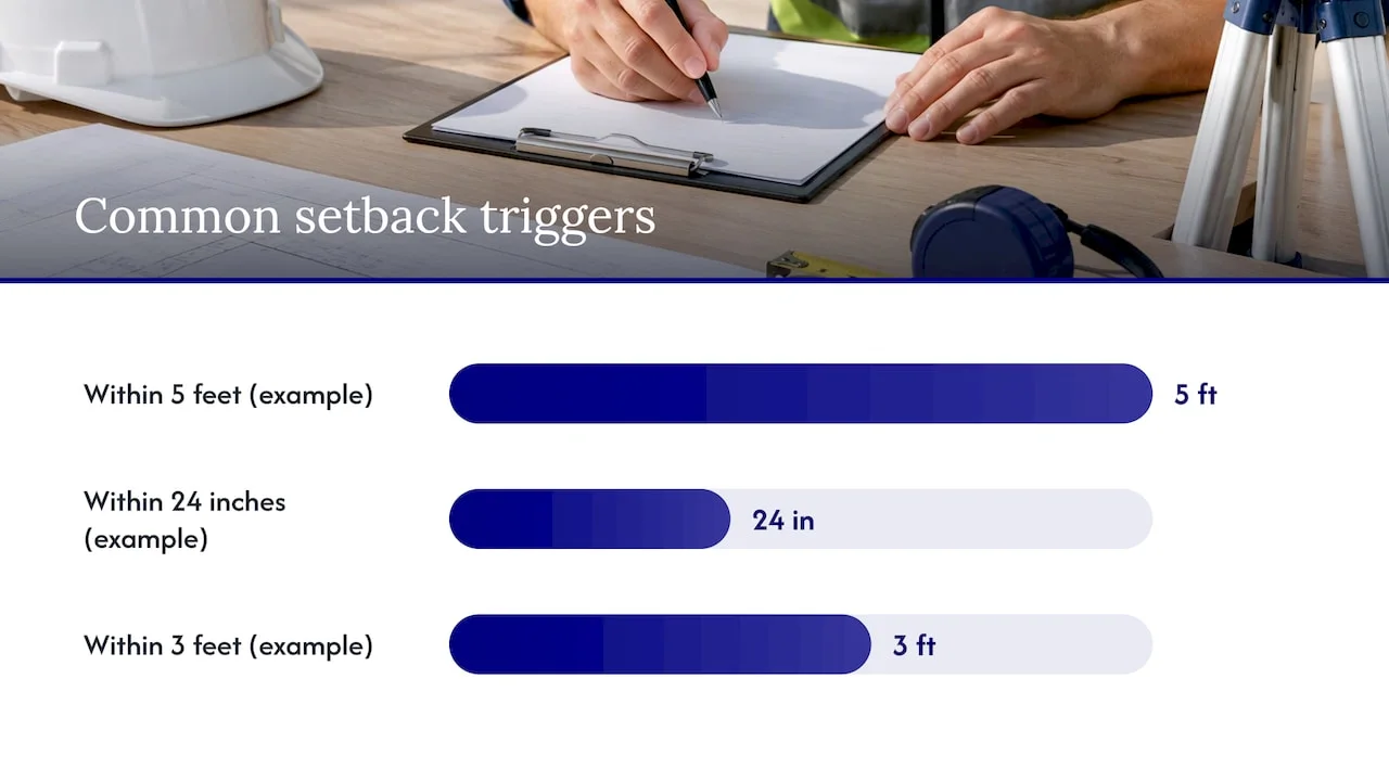
- Your proposed ADU sits within a short distance of a property line, with thresholds varying by city (examples include within 5 feet, 24 inches, or 3 feet).
- Your lot has meaningful slope, which triggers a request for topographic contours rather than a flat site sketch.
- You’re pursuing a lot split under SB9 or adding a new primary structure, both of which usually require confirmed legal boundaries.
- Your ADU footprint comes close to an easement, utility line, or recorded encroachment.
- A building inspector asks for foundation or form verification once construction starts.
Several cities spell this out explicitly. Danville’s ADU guidance states that a lot survey is required when proposed setbacks fall under 5 feet, and calls for contour or topography information on sloped parcels. Municipal ADU checklists commonly require site plans showing property lines, setbacks, easements, utilities, and topography where applicable. This makes the local checklist the authoritative place to confirm whether your project needs a survey, according to HCD’s ADU program guidance. Other jurisdictions set their own numeric triggers, such as a 24-inch setback threshold or a requirement for 1-foot contour intervals on detached units, so the exact number depends entirely on where you’re building.
Before you sketch a site plan, pull your city or county’s ADU checklist directly from the planning or building department’s website. Note the specific line items that reference surveys, topography, or boundary verification, and write down the name of a staff contact in case you need to confirm an ambiguous requirement later. That single document shapes almost every decision that follows, from which survey type you order to how much it costs.
Which survey type matches your ADU permit needs
Not every ADU needs the same kind of survey, and ordering the wrong one wastes money or delays your permit review. Three products cover most residential ADU projects in California.
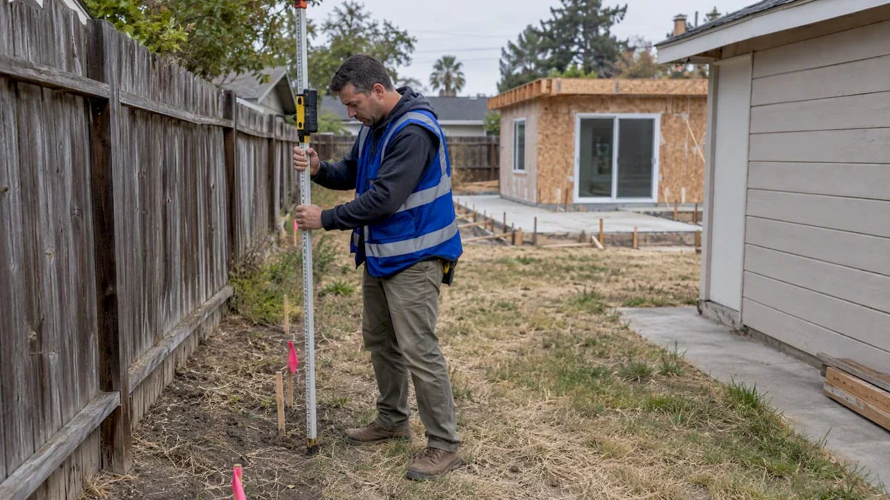
- Boundary survey: Research of recorded maps and deeds, recovery of existing monuments, and staked property corners with legal dimensions, typically required when setbacks are tight or title records are unclear.
- Topographic or planimetric survey: Contours, spot elevations, and drainage flow, generally required on sloped lots or when grading and retaining walls are part of the design.
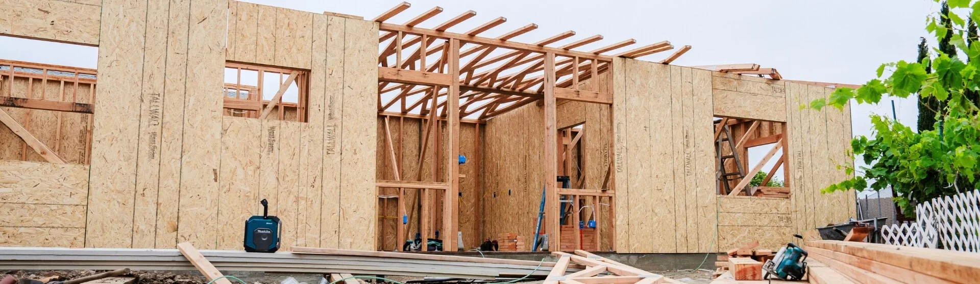
- Building verification or as-built survey: Confirmation of existing structure footprints, or on-site foundation form verification once construction begins, used when inspectors need to check that forms match the approved plan before concrete pours.
When requesting a quote, ask for a stamped site plan, CAD or DWG base files you can hand to your designer, staked property corners if you’re building near a boundary, the contour interval included (1-foot intervals are common on steep lots), any easements noted on the drawing, and a written list of what is excluded from the quoted price.
Pro Tip: Order your topographic survey before finalizing grading plans, since retaining wall and drainage decisions often change once real contours replace an assumed flat lot.
How state ADU law intersects with local survey triggers
California’s ministerial ADU approval framework, including the 66323 unit categories described in HCD’s ADU Handbook, allows many ADUs to qualify for small side and rear setbacks, often as little as 4 feet, without discretionary review. That statewide allowance speeds up approval, but it doesn’t erase the need to know exactly where your legal property line sits.
Setbacks are measured from the recorded boundary, not from a fence, hedge, or where a neighbor believes the line runs. HCD’s guidance notes that while state law eased many ADU rules, local agencies retain authority over site-specific submittal requirements, and engineering or grading concerns on sloped or constrained lots commonly still trigger a topographic survey or additional drainage information.
- Check whether your proposed ADU qualifies under a 66323 ministerial category for reduced setbacks.
- If it does, confirm separately whether your city or county still requires boundary verification, because many do even for ministerial projects.
- Treat the state setback allowance and the local survey trigger as two separate questions, since passing one doesn’t automatically satisfy the other.
What a survey typically costs and how long it takes
Combined boundary and topographic surveys for residential ADU permit submittals typically fall within a moderate price range in many Bay Area examples, according to Contour Survey’s ADU survey pricing guidance. Costs run higher or lower elsewhere in California depending on local labor rates and lot conditions.
Several factors move the price within or beyond that range:
- Lot size and the amount of boundary research or monument recovery needed.
- Steep slopes that require tighter, 1-foot contour intervals instead of a simpler flat-lot sketch.
- Dense vegetation or buried monuments that slow down fieldwork.
- Recorded easements or title complications that add research time.
- Rush scheduling, which most firms price as a separate fee.
Expect roughly 1 to 4 weeks to schedule the initial field visit depending on season and firm availability, a single field day or less for the actual measurements, and 1 to 3 weeks for research and CAD deliverable turnaround. Expedited options exist but usually cost more.
How to hire and scope a surveyor for your ADU
A clear scope request upfront prevents the two most common ADU survey headaches: quotes that exclude work you actually need, and mid-project add-on fees once a surveyor realizes the job is bigger than assumed.
Before contacting firms, gather the property address and parcel number, your proposed ADU footprint and setback distances, a copy of your city or county’s ADU checklist, and any deed or record maps you already have.
- Ask whether the final deliverable will be signed and stamped by a licensed surveyor.
- Ask what recorded document research is included in the base price.
- Ask whether the surveyor will physically stake property corners on site.
- Ask whether CAD or DWG files are included, and which layers they contain.
- Ask what contour interval is included if the project needs topography.
- Ask whether foundation or form verification during construction is a separate line item.
Pro Tip: Get the deliverable list in writing before you sign, since a quote that quietly excludes monument recovery or staking often turns into a change order once fieldwork starts.
Watch for quotes that look unusually low. They often exclude record research or on-site staking, both of which matter if your ADU sits anywhere near a setback line. Confirm rush fees and change-order terms before work begins, according to real estate development compliance guidance that recommends documenting scope assumptions early in small residential projects.
How survey results shape your permit-ready site plan
Plan checkers expect specific information on your submitted site plan, and most of it traces directly back to your survey. A base map built from accurate survey data moves through review faster than one built from an assumption.
- Legal property lines with recorded dimensions, not estimated or fenced boundaries.
- Measured setback distances from each property line to the proposed structure.
- Existing structures on the lot with their own setback callouts.
- Recorded easements, along with utilities and trees where your jurisdiction requires them.
- Contour lines when your local checklist specifies an interval.
Starting with a stamped, surveyor-prepared base map reduces plan-check comments because reviewers aren’t guessing at distances you’ve estimated by eye. It also prevents a mid-construction stop: inspectors increasingly ask for foundation or form verification before a pour, and having staked corners from the original survey makes that check a formality instead of a delay.
Why we treat surveys as a first step, not an afterthought
We consider survey scoping an important part of early feasibility work on ADU projects rather than waiting until plan check flags a missing boundary line. A modest upfront survey cost can save more in avoided inspection holds and change orders later.
, Uni Construction
How we help you scope and use your ADU survey
We coordinate directly with licensed surveyors so the scope they quote matches exactly what your city’s checklist requires, instead of leaving you to translate planning department language into technical survey terms on your own. That coordination is part of how we put together permit-ready plans for homeowners working through ADU design and permitting in Los Angeles.
- We review your proposed ADU footprint against local setback triggers prior to commissioning a survey to help order the appropriate scope.
- We incorporate survey data into permit-ready site plans to streamline plan check.
- We coordinate structural engineering and drafting based on the same base map to align design team and surveyor data.
If you’re not sure whether your lot needs a boundary survey, a topo, or both, start with a feasibility review through our design engineer service or request permit-ready drafting through our drafting service. We’ll tell you plainly what your project needs before you spend money on the wrong scope.
FAQ
HCD’s ADU Handbook update covers ministerial approval categories through 2026, including 66323 units that qualify for reduced setbacks without discretionary review, according to the HCD ADU Handbook. Local agencies still retain authority over site-specific submittal and verification requirements, so check your city’s current checklist alongside the state update.
State and local programs, including the CalHFA ADU Grant Program, have at times reimbursed predevelopment costs such as surveys and design fees, but availability and eligibility vary and funds can run out, according to HCD’s ADU funding page. Check current program status directly with HCD or CalHFA before counting on a specific grant amount.
We don’t have a published figure for this in our own service pricing, since ADU construction costs depend heavily on design, site conditions, and finish level. Request a feasibility review through our design engineer service for project-specific numbers.
Combined boundary and topographic surveys for residential ADU permits generally cost a moderate amount in many Bay Area examples, according to Contour Survey’s pricing guidance, though costs vary by region, lot size, and site complexity. Steeper lots, denser vegetation, or complicated title records tend to push costs toward the higher end of that range.
Qualifying for a reduced statewide setback doesn’t remove local survey requirements, since that setback is measured from your legal property line, not an assumed or fenced boundary. Many cities still require boundary verification for ADUs built close to a property line even under ministerial approval categories.
Sources
- ADU Survey Bay Area | Site Plans & Surveys for ADU Permits | Contour Survey
- Accessory Dwelling Unit (Danville) – ADU guidance and checklist